Removal of old Tamiami Trail roadbed opens new doors for Everglades revival
BY ARIANA ASPURU AND ADRIANA BRASILEIRO
UPDATED AUGUST 06, 2021 11:55 AM
The Tamiami Trail was hailed as an engineering milestone when it opened nearly a century ago, a thin ribbon of rocky fill and asphalt connecting Florida’s two coasts.
Over the decades, it also became an environmental disaster — literally a roadblock to the historic natural flow of the Everglades, leaving water too deep to the north and sending too little to Everglades National Park and Florida Bay to the south.
On Tuesday, South Florida water managers celebrated the final removal of sections of the old Trail, the culmination of a years-long project that earlier had erected a series of bridges designed to increase the flow of the Shark River Slough, the major fresh water artery for the southern Everglades. Removing six miles of old roadbed was a key last piece of the effort.
“Alligator” Ron Bergeron, a water management board member and longtime Everglades conservationist, said the entire Everglades ecosystem will benefit from opening up the Trail. The announcement, attended by Gov. Ron DeSantis, comes as the state is also seeking to divert more water south from Lake Okeechobee to reduce the cycle of devastating blue-green algae blooms from periodic releases of polluted water to the Caloosahatchee River on the southwest coast and the St. Lucie on the southeast coast
“The journey of water is the life of South Florida,” Bergeron said.
DeSantis said the removal of the barriers will help move water south and noted that the project was completed six months ahead of schedule.
“Since day one, my administration has been focused on expediting key Everglades restoration and water quality projects to protect Florida’s natural resources for future generations, and I’m proud of our record-setting progress,” he said.
Eric Eikenberg, president and CEO of The Everglades Foundation, said the road being removed is the original one built in the early 1920s.
“To have a 100-year problem be solved by a generation that’s committed to restoration, that’s why it’s so optimistic and significant,” he said.
He said the local bird population along with the 78 endangered animals and plant life will thrive with more water in the area. While more is flowing south now, he said, the project is still missing a few components to push more, much needed water into the system. Those include raising the height of the roads so more water can flow south, but he said that is near full completion.
There are also concerns about possible flooding in west Miami-Dade due to higher water levels in the southern Glades. John Mitnik, an assistant executive director and chief district engineer, said the district was working to address that issue.
To offset the now south-flowing water, the department is constructing an underground seepage wall that will extend down 60 feet. The clay wall will serve to prevent the additional water from moving south from the Tamiami project and other projects impacting the area.
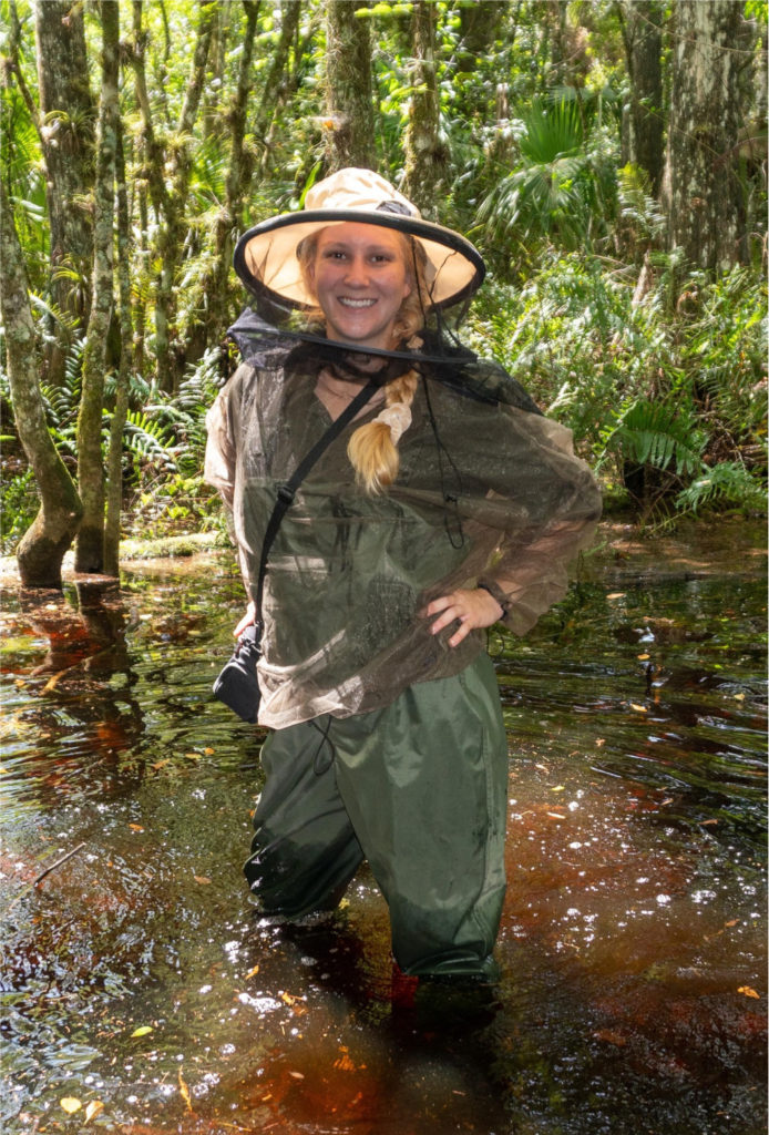
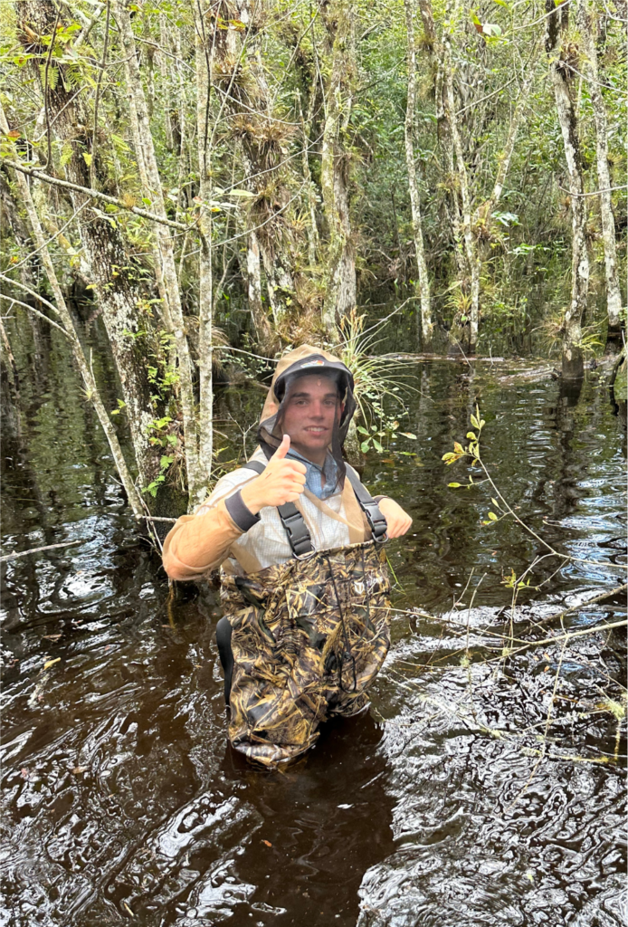
Tamiami Trail, completed in 1928, was a feat of engineering that doubled as a highway and a dam at a time when draining the Everglades through canal-cutting and a total re-plumbing to make way for cities and crops was a part of South Florida’s development plans. The road cuts through 25 miles of marshes in the unique ecosystem and blocked the natural flow of water through the River of Grass.
Reducing barriers to the historic flow of the Everglades is a key tenet of restoration and raising Tamiami Trail is among the costliest projects in the multibillion-dollar Comprehensive Everglades Restoration Plan, or CERP. Letting more water flow from conservation areas located north of the road into Everglades National Park so it can move south to refresh Florida Bay is expected to benefit Everglades National Park and also reduce the need for harmful discharges from Lake Okeechobee to estuaries on the east and west.
Since CERP was approved in 2000, managing lake water levels became a major challenge in finding the right balance in the design of projects to reestablish the natural flow in the Everglades. The U.S. Army Corps of Engineers has been trying to figure out how high or how low the lake should be at any given time considering conflicting interests: the need to send water south for Everglades restoration and the guarantee of sufficient supplies for farming while also managing flood protection structures such as its aging Herbert Hoover dike.
Water in Lake O has a high concentration of nutrients because of runoff from surrounding agricultural lands, septic tanks and storm-water reservoirs from nearby urban areas. When levels are too high, the Corps must let water out to the St. Lucie estuary on the east and the Caloosahatchee on the west, sending nutrient-rich flows that often foul rivers, canals and beaches with harmful algae blooms.
And there are other obstacles to restoration: the endangered Cape Sable seaside sparrow, a tiny bird that lives in a handful of areas across the park, needs at least six months of dry nesting grounds that must be protected; communities such as Las Palmas, a collection of ranches and nurseries on the northeastern edge of the park, which run an increased risk of flooding as more water starts to flow to the park as a result of the Tamiami Trail projects and other restoration work.